La Réunion (REU)
France
GRUAN Status
- active
- since 2013
Site Name
- GRUAN (code, name)
- REU, Reunion
- -short
- La Réunion
- -long, international
- Le Chaudron Station (Meteo-France) & Maïdo observatory
- -long, national
- Le Chaudron Station (Meteo-France) & Maïdo observatory
Location
- Country
- France
- Department
- La Réunion
Map
Site Contact
- Name
- Stéphanie Evan
- Affiliation
- Université de la Réunion
- Address
- UMR8105 LACy
- Université de la Réunion
- 15 Avenue René Cassin
- CS 92003
- 97744 Saint-Denis Cedex 9
- stephanie.evan@univ-reunion.fr
- Phone
- +262 262 93 82 53
- Fax
The GRUAN site "La Réunion" is a cooperation from two national organizations with three locations.
Site Locations
Location Name
- -long, international
- Le Chaudron Météo-France site
- -long, national
- Le Chaudron Météo-France site
- WMO (code, name)
- 61980
Position
- Latitude
- -20.89 °S
- Longitude
- 55.49 °E
- Altitude
- 49 m
Institution / Operator
- Name
- Meteo-France
- -long, international
- Meteo-France
- -long, national
- Meteo-France
- Website
- http://www.meteofrance.com/accueil
- Description
- National Meteorological Service
Description of Location
- Foundation
- 2011
- Description
- at the North of Reunion Island close to Indian Ocean
- General type
- tropic
- Topography
- Flat with fertile lowlands along the coast at Le Chaudron
- Land use (within 10 km)
- human settlements and agricultural utilization
- Climate
- tropic - humid; rain period: December - March; East: rain- laden, West: steppe climate
- Website
- http://www.meteofrance.com
Loction Name
- -long, international
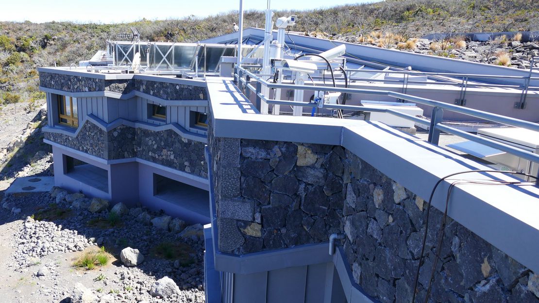
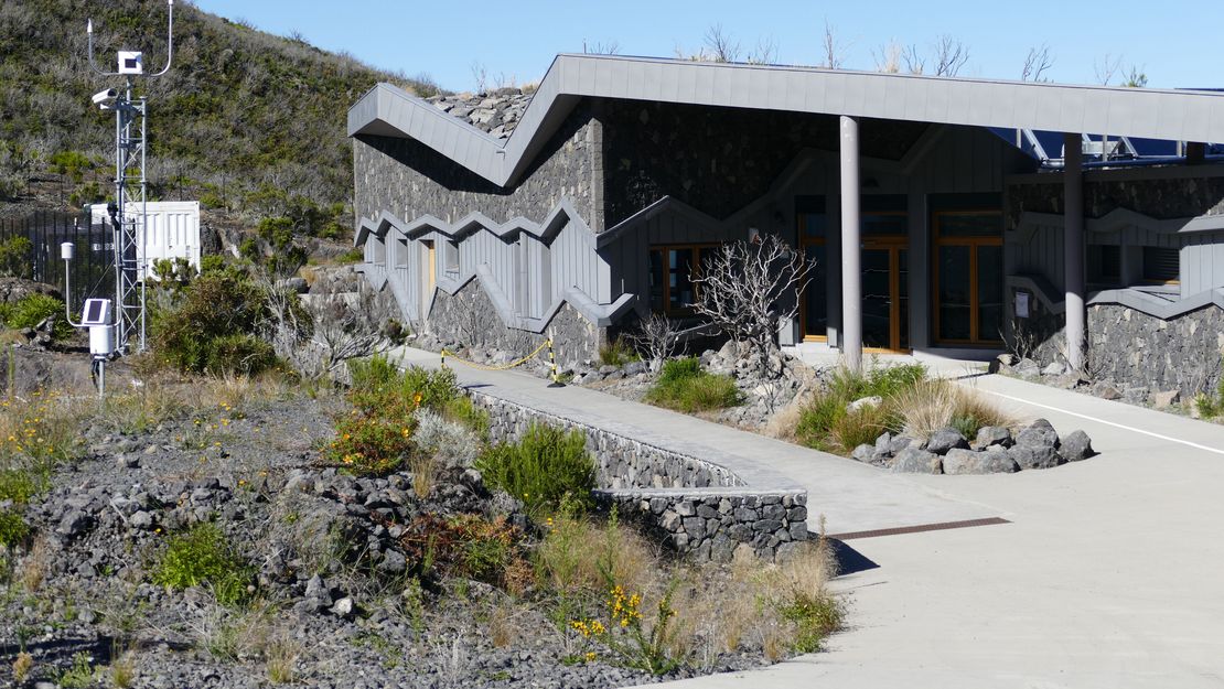
- Observatory of Maïdo
- -long, national
- Maïdo observatory
- WMO (code, name)
- 61983
Position
- Latitude
- -21.08 °S
- Longitude
- 55.383 °E
- Altitude
- 2200 m
Institution / Operator
- Name
- OPAR
- -long, international
- Observatoire de Physique de l'Atmosphére de la Réunion (OPAR)
- -long, national
- Observatoire de Physique de l'Atmosphére de la Réunion (OPAR)
- Website
- http://osur.univ-reunion.fr/observations/osu-r-stations/opar/
- Description
- Observatory of Maïdo
Description of Location
- Foundation
- 2012
- Description
- at the top of the Maïdo Mountain, on the western part of Reunion Island
- General type
- tropic
- Topography
- mostly rugged and mountainous at Maïdo
- Land use (within 10 km)
- human settlements and agricultural utilization
- Climate
- tropic - humid; rain period: December - March; East: rain- laden, West: steppe climate
- Website
- http://osur.univ-reunion.fr/observations/osu-r-stations/opar/
Location Name
- -long, international
- Gillot
- -long, national
- Gillot
- WMO (code, name)
Position
- Latitude
- -20.89 °S
- Longitude
- 55.48 °E
- Altitude
- 13 m
Membership In Other Networks
- NDACC
- 1998
- SHADOZ
- 1998
- AERONET
Relevant Documents
- ICM-15 (2024)
GRUAN Site Report for La Reunion - Jerome Brioude
- ICM-14 (2022)
GRUAN Site Report for La Reunion - Stephanie Evan
- ICM-13 (2021)
GRUAN Station Report for La Reunion - Stephanie Evan
- ICM-12 (2020)
GRUAN Site Report for La Réunion - Stephanie Evan
Updating information for Trappes and Reunion - Frédéric Marin
Results from the CONCIRTO Balloon campaigns at Maïdo Observatory - Stephanie Evan- ICM-11 (2019)
GRUAN Site Report for La Réunion - Stephanie Evan
- ICM-10 (2018)
GRUAN Site Report for La Réunion - Stephanie Evan
Status of GRUAN certification for French sites - Gaëlle Clain- ICM-9 (2017)
GRUAN Site Report for La Réunion - Stephanie Evan
Updates on balloon/lidar activities in La Réunion - Stephanie Evan- ICM-8 (2016)
GRUAN Station Report for La Reunion - Stephanie Evan
Balloon soundings and the MORGANE campaign at Réunion - Stephanie Evan- ICM-7 (2015)
Lagrangian modeling for Reunion and other activities at la Reunion - Stephanie Evan
- ICM-6 (2014)
Maïdo observatory: a new high-altitude station facility at Reunion Island (21° S, 55° E) - Stephanie Evan
- ICM-5 (2013)
SIRTA and REUNION Observatories Feasibility study to become GRUAN candidates - Martial Haeffelin
Measurement Systems
| Key | Name | Description | Instrument View | Instrument Change | ZIP |
|---|---|---|---|---|---|
| REU-GN-01 | Maïdo GNSS Site MAIG | 2020-07-02 | |||
| REU-GN-02 | Saint Denis GNSS Site STDE | 2020-07-02 | |||
| REU-LI-01 | LIDAR 1200 Maïdo Raman Water Vapor Lidar | 2020-07-02 | |||
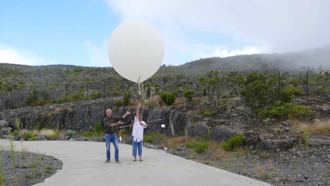
| REU-RS-01 | Maïdo Radiosonde Launch Site | 2020-07-02 | |||
| REU-RS-02 | Saint Denis Radiosonde Launch Site | 2020-07-02 | |||
| REU-RS-03 | Gillot Ozonesonde Launch Site | 2020-07-02 |


