Xilinhot (XIL)
China
GRUAN Status
Site Name
- GRUAN (code, name)
- XIL Xilinhot
- -short
- Xilinhot
- -long, international
- Xilinhot National Climate Observation
- -long, national
- WMO (code, name)
- 54102 XILINHOT
Location
- Country
- China
- Region
- Inner Mongolia
- Latitude
- 43.95 °
- Longitude
- 116.12 °
- Altitude
- 1013 m
Map
Institution / Operator
- Name
- -long, international
- Inner Mongolia Weather Bureau
- -long, national
- Website
- http://qxj.xlgl.gov.cn (only Chinese)
- Description
- National Meteorological Service
Site Contact
- Name
- LUO HAO WEN
- Affiliation
- Xi Lin Guo Le Weather Bureau
- Address
- No.11#, 10th Group
- Er Deng Mu Teng street
- Xilinhot city
- luohw_1@163.com
- Phone
- Fax
Site Description
- Foundation
- 1955
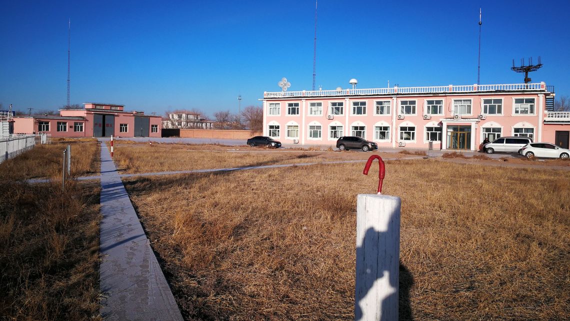
- General type
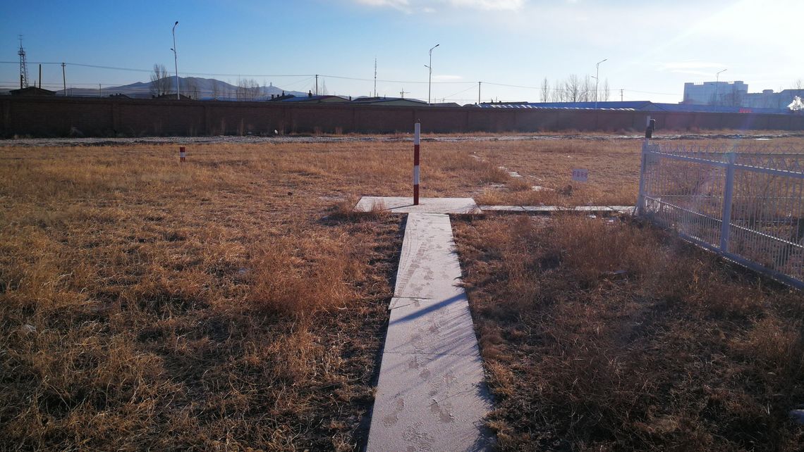
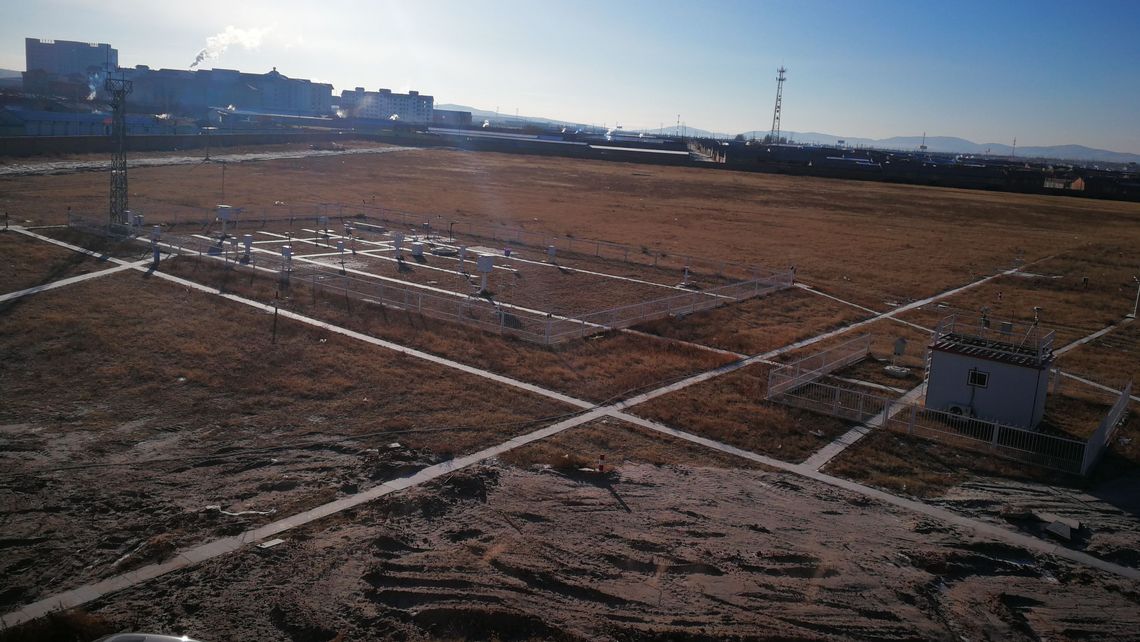
- open country / field
- Topography
- elevated plain
- Land use (within 10 km)
- grassland / cropland 85 %, open water 8 %, settlements 8.5 %
- Climate
- typical warm semiarid continental climate; Spring and autumn season are short compared winter. Four seasons were seprated clearly by its climate characteriistic. The main climate characters are gale, drought and frigid weather.
- Website
Relevant Documents
- ICM-15 (2024)
GRUAN Site Report for Xilinhot - Luo,Hao Wen
- ICM-14 (2022)
GRUAN Site Report for Xilinhot - Lead Centre
- ICM-13 (2021)
GRUAN Station Report for Xilinhot - Lead Centre
- ICM-12 (2020)
GRUAN Site Report for Xilinhot - Lead Centre
- ICM-11 (2019)
GRUAN Site Report for Xilinhot - Lead Centre
- ICM-10 (2018)
XilinHot GRUAN Site Work Progress - Yang RongKang
- ICM-9 (2017)
GRUAN Site Report for Xilinhot - Yang RongKang
Progress and Plan of China Xilinhot GRUAN works - Zhao Peitao- ICM-7 (2015)
GRUAN Station Report for Xilinhot - Lead Centre
- ICM-6 (2014)
GRUAN Station Report for Xilin Hot - Lead Centre
- ICM-5 (2013)
The progress of Xilinhot site - Wei LI
- ICM-4 (2012)
- ICM-3 (2011)
The progress of Xilinhot - Wei LI
- ICM-2 (2010)
Site report: Xilinhot , China - Chen Yongqing and Li Wei
The introduction of Xilinhot national climate observatory - Li Wei and Chen Yongqing- ICM-1 (2009)
Xilinhot - the GRUAN Initial Site - Kejun Wu
- Lindenberg (2008)
The Candidate GRUAN Station in China - Kejun Wu
Measurement Systems
| Key | Name | Description | Instrument View | Instrument Change | ZIP |
|---|---|---|---|---|---|
| XIL-GN-01 | GNSS Site XLHT | 2024-05-28 | |||
| XIL-RS-01 | Xilinhot Radiosonde Launch Site | 2024-05-28 |