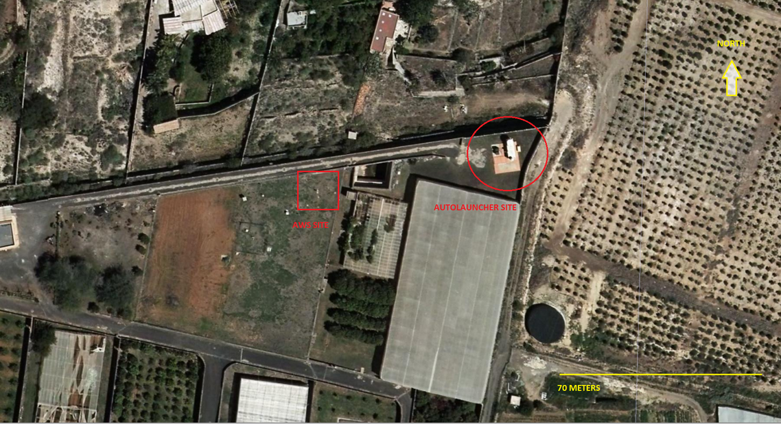
Single View for Site Description
Tenerife-Guimar (TEN)
- Affiliation:
- AEMET- Spanish Weather Service
- Address:
Finca La Planta. Carretera del Socorro s/n. Güímar. 38500, Santa Cruz de Tenerife. Canary Islands; Spain.
- WIGOS Id:
- 0-20000-0-60018
- Latitude:
- 28.32 °N
- Longitude:
- 16.38 °E
- Location:
- Google Map
- Altitude:
- 115 m
- Topography:
- Eastwards, environment is dominated by the sea (2 km away) with a single medium size volcanic 500 away. Westwards,there is a gradual slope rise towards a high mountain ridge at a distance of aproximatelly 6 km. The area is mainly dominated by agricultural landscape, dotted with villages and settlements of various kinds. Soil is sandy with small rocks. The site is located on a agricultural reseach centre.
- Climate:
- Locally is arid (Köppen BWh), moderated by sea proximity. On large scale, within subtropical area dominated by trade winds, seasonal variations are small.
- Author:
- Miguel Hernández
Documents
