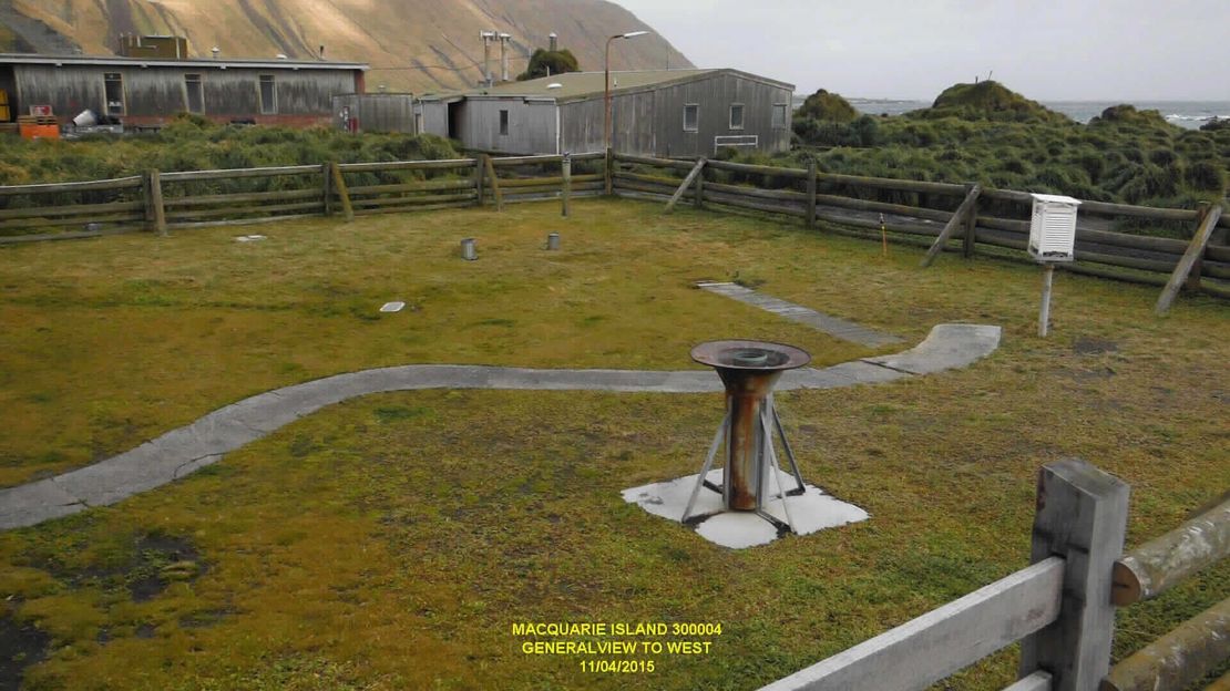
GCOS Reference Upper-Air Network
Macquarie Island (MAQ)
Australia
GRUAN status
- Candidate site
- (data flow in preparation)
Site Name
- GRUAN (code, name)
- MAQ, MacquarieIsland
- -short
- Macquarie Island
- -long, international
- Macquarie Island
- -long, national
- Macquarie Island
- WMO (code, name)
- 94998, Macquarie Island
Location
- Country
- Australia
- State
- Tasmania
- Latitude
- 54.4994° S
- Longitude
- 158.9369° E
- Altitude
- 6 m
Map
Institution / Operator
- Name
- Bureau of Meteorology
- -long, international
- Bureau of Meteorology
- -long, national
- Bureau of Meteorology
- Website
- www.bom.gov.au
- Description
- Weather Service
Site Contact
- Name
- Andrew Winchester
- Affiliation
- Bureau of Meteorology
- Address
- Bureau of Meteorology
- GPO Box 1289
- Melbourne, Victoria 3001
- Australia
- andrew.winchester@bom.gov.au
- Phone
- Fax
Site Description
- Foundation
- 1948-01-01
- General type
- sub-antarctic
- Topography
- island, composed entirely of oceanic crust and rocks from the mantle, deep below the earth's surface
- Land use (within 10 km)
- unsettled
- Climate
- sub-antarctic
- Website
- www.bom.gov.au
Membership in other networks
- GAW
Relevant Documents
- ICM-14 (2022)
GRUAN Site Report for Macquerie Island - Andrew Winchester
- ICM-13 (2021)
GRUAN Station Report for Macquerie Island - Matt Tully
- ICM-12 (2020)
GRUAN Site Report for Macquarie Island - Matt Tully
- ICM-11 (2019)
GRUAN Site Report for Macquarie Island - Matt Tully
- ICM-10 (2018)
GRUAN Site Report for Macquarie Island - Matt Tully
- ICM-9 (2017)
GRUAN Site Report for Alice Springs, Davis, Darwin, Macquarie Island, Melbourne - Matt Tully
- ICM-8 (2016)
GRUAN Station Report for Australian Stations (Alice Springs, Darwin, Davis, Macquerie Island, Melbourne) - Matt Tully
Measurement Systems
| Key | Name | Description | Instrument View | Instrument Change | ZIP |
|---|---|---|---|---|---|
| MAQ-RS-01 | Macquarie Island radiosonde launch site |

