Single View for Site Description
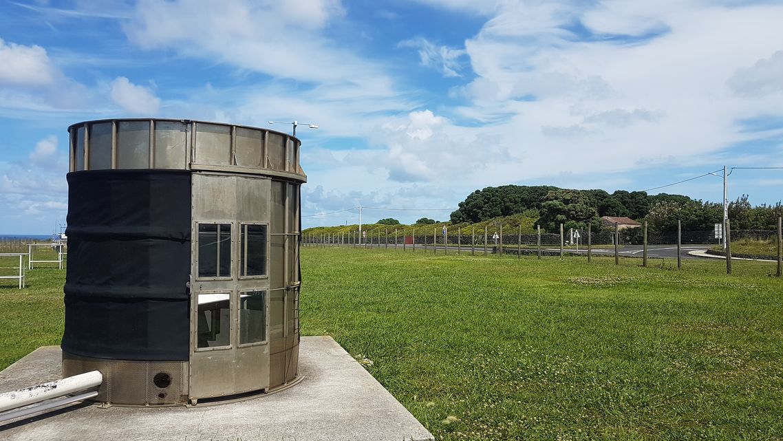
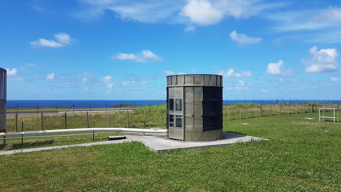
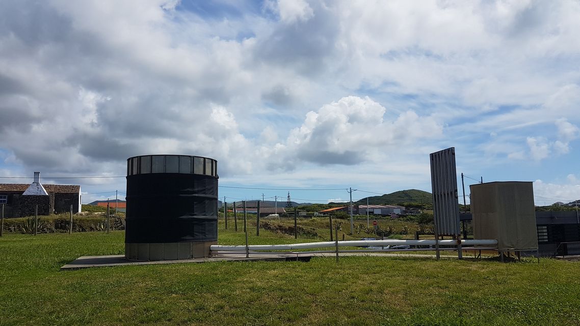
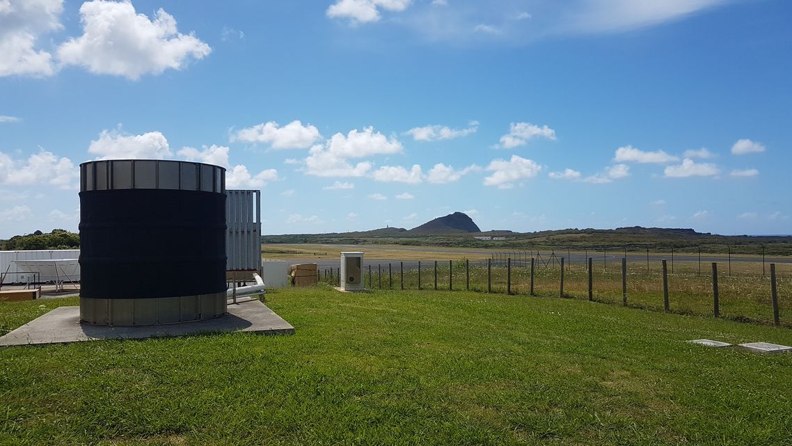
Eastern North Atlantic (ENA) (GRA)
- Affiliation:
- US DOE Atmospheric Radiation Measurement (ARM) Program
- Latitude:
- 39.09 °N
- Longitude:
- 28.03 °E
- Location:
- Google Map
- Altitude:
- 30 m
- Topography:
- generally flat and dotted by numerous volcanic cones, with a southern portion of the island higher in altitude
- Climate:
- mixed humid subtropical-Mediterranean climate
- Author:
- Marion Fiedler-Krüger
Documents


