Single View for Site Description
Cabauw Experimental Site for Atmospheric Research (CESAR) (CAB)
- UTC time offset:
- +1
- Affiliation:
- KNMI
- Address:
Zijdeweg 1
3411 MH Lopik
The Netherlands
- WIGOS Id:
- 0-20008-0-CES
- Latitude:
- 51.9710006714 °N
- Longitude:
- 4.9270000458 °E
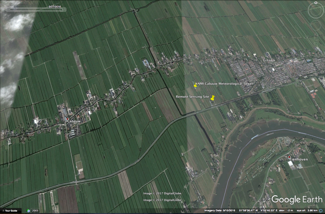
- Location:
- Google Map
- Altitude:
- -1 m
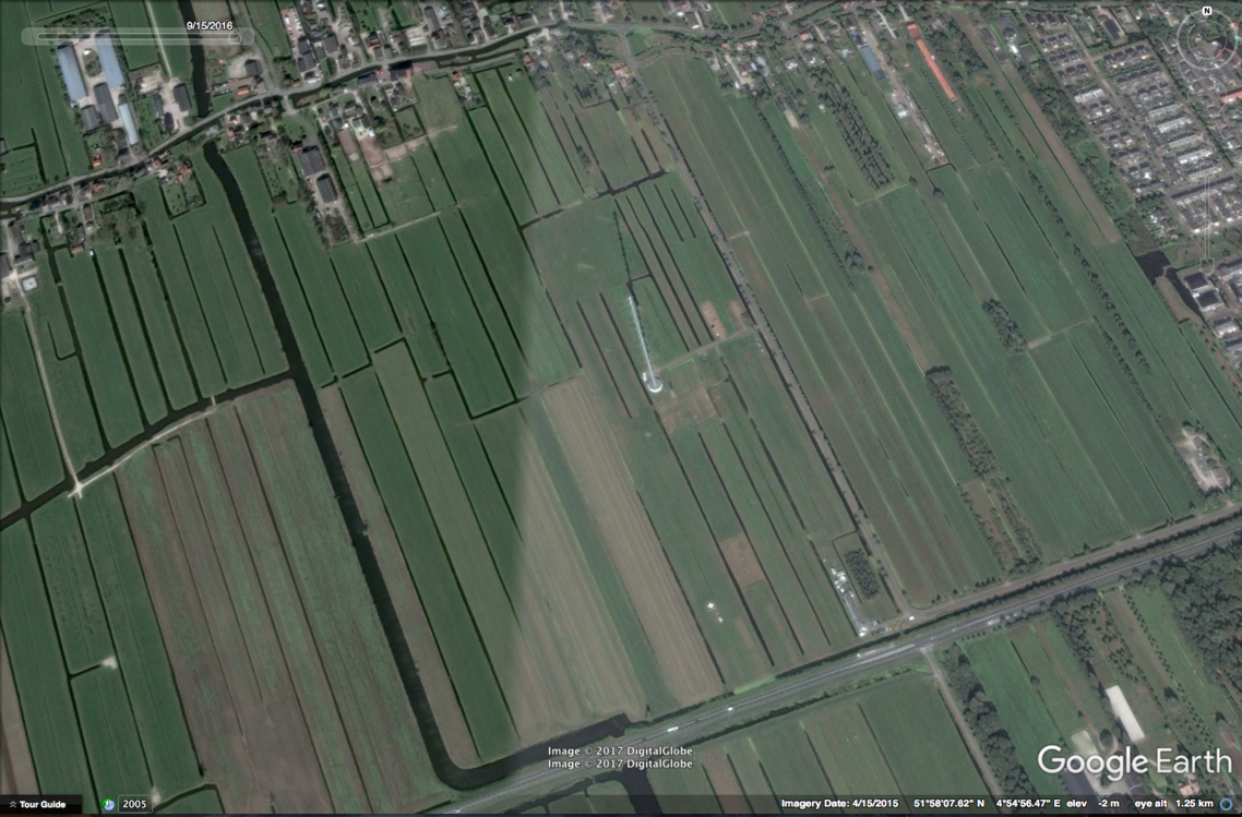
- Topography:
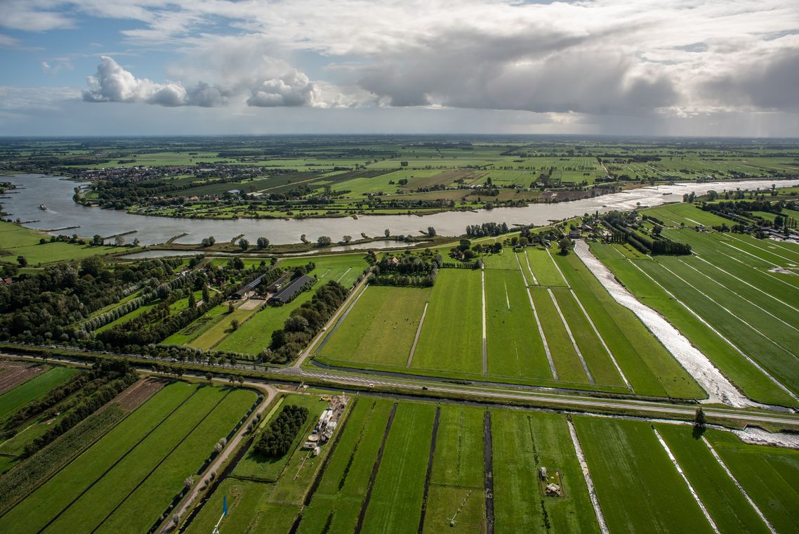
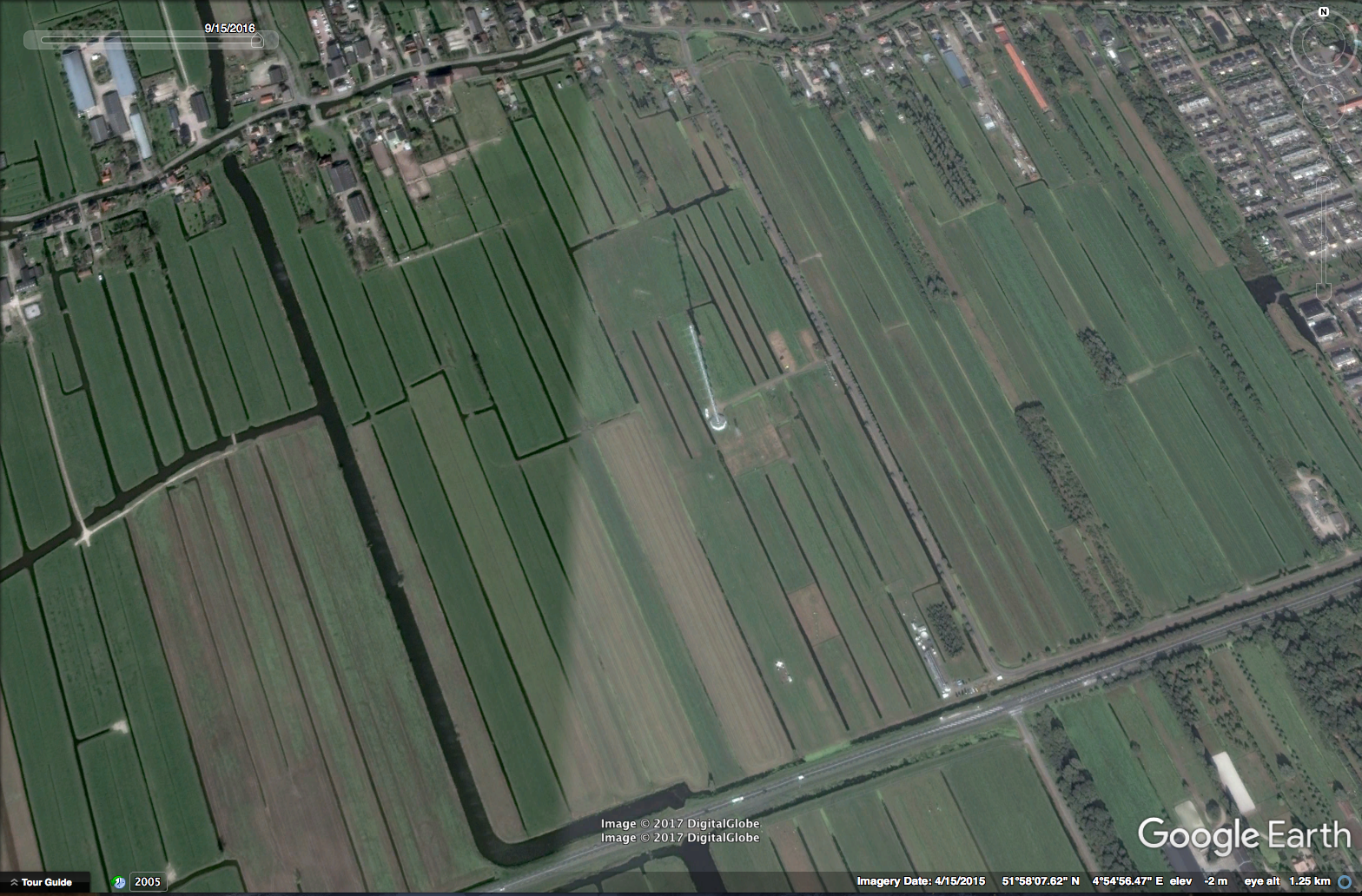
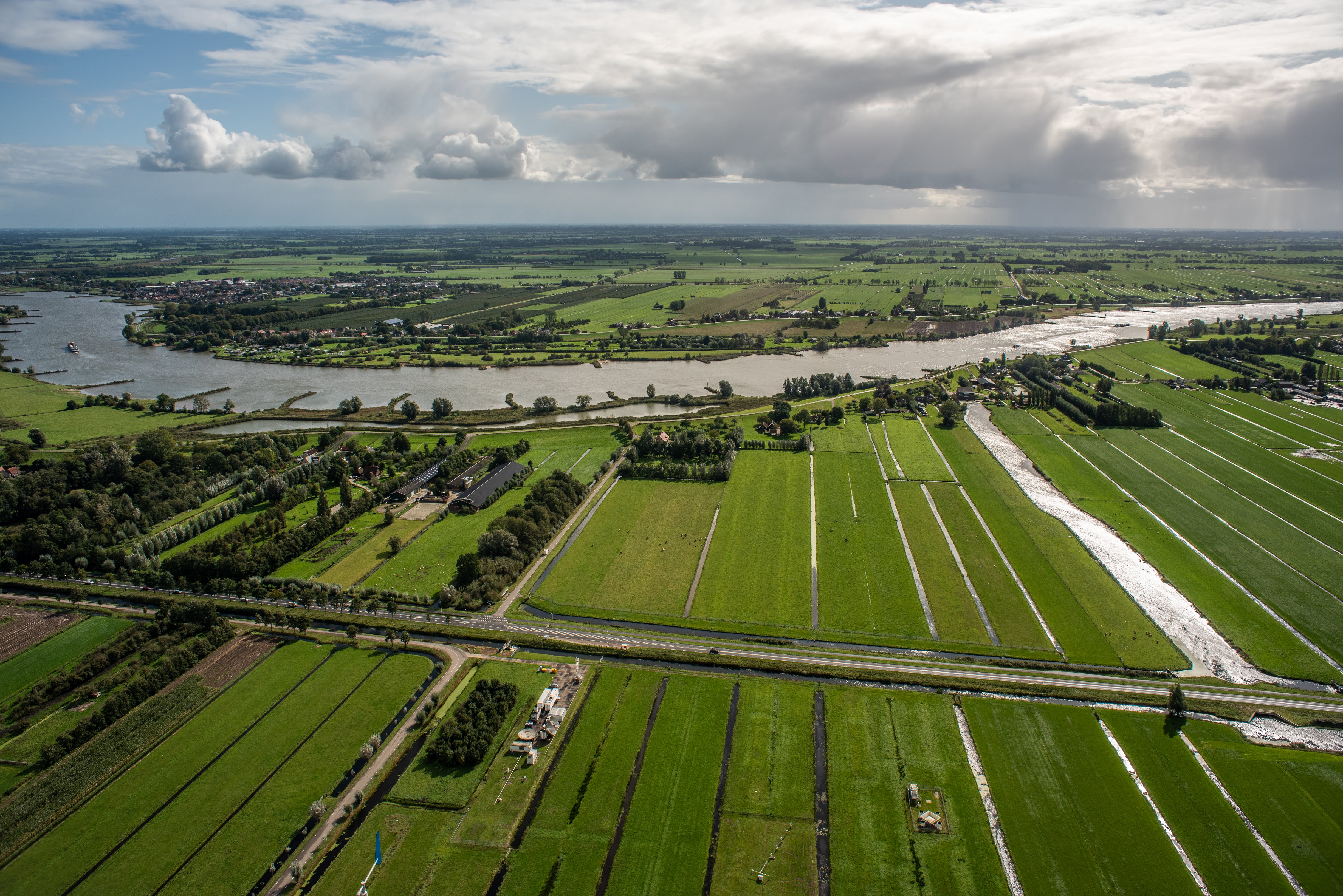
- Near the mast, the terrain is open pasture for at least 400 m in all directions, and in the WSW direction for at least 2 km. Farther away, the landscape is generally very open in the West sector, while the distant East sector is more rough (windbreaks, orchards, low houses). The distant North and South sectors are mixed landscapes, much pasture and some windbreaks.
- Climate:
- Marine West Coast
- Description:
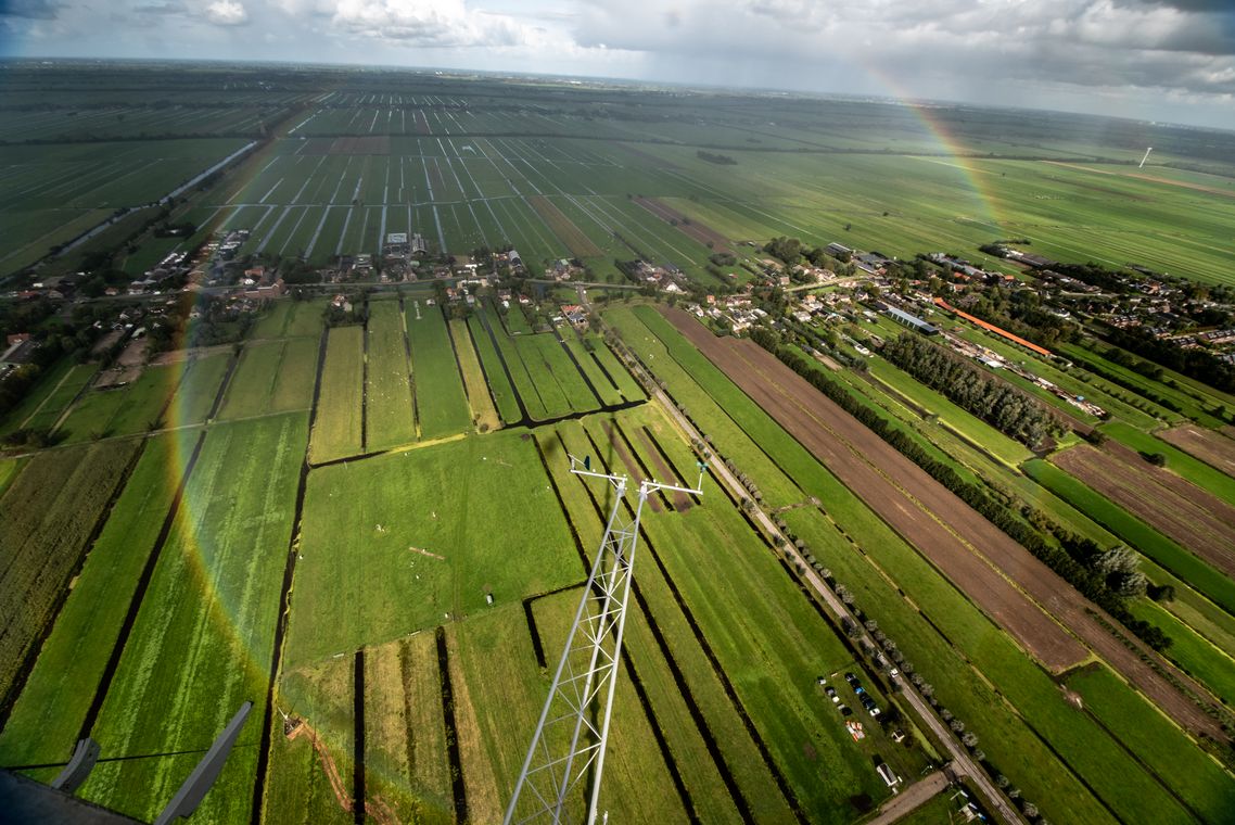
The Cabauw Observatory is located in the western part of the Netherlands in a polder 0.7 m below average sealevel. At the site a comprehensive set of instruments is operated to study the atmosphere and its interaction with the land surface. The Cesar site is used for: - Monitoring of long term tendencies in atmospheric changes, - Studies of atmospheric and land surface processes for climate modelling, - Validation of space-borne observations, - The development and implementation of new measurement techniques, and - Training of young scientists at post-doc, PhD and master level. Universities and research institutes collaborate in a national consortium for atmospheric research. As such, Cabauw the focal point of experimental atmospheric research in The Netherlands. The 213 m high mast was specifically built at the Cabauw site for meteorological research to establish relations between the state of the atmospheric boundary layer (ABL), land surface conditions and the general weather situation for all seasons. This site was chosen because it is representative for this part of the Netherlands and because only minor landscape developments were planned in this region. Indeed, the present surroundings of Cabauw do not differ significantly from those in 1972. The North Sea is more than 50 km away to the WNW. The nearby region is agricultural, and surface elevation changes are at most a few metres over 20 km. Within 40 km radius there are four major synoptic weather stations, among which is the regular radiosonde station at De Bilt (06260), ensuring a permanent mesoscale network.
- Remarks:
The Cabauw - De Bilt GRUAN station is a distributed site. Radio sondes are launched from De Bilt (0-20000-0-06260)
- Author:
- Arnoud Apituley
- Summary:
- First entry